How do I get a satellite view of my property?
Short answer: define the property boundary on a map, then read the public satellite archives over that boundary. Earth-Audit does both — historical satellite imagery from 1984, 10 m Sentinel-2 detail, an NDVI vegetation index trajectory and a change map in hectares, limited to your land and nothing around it. Below are the questions people actually ask before they start.
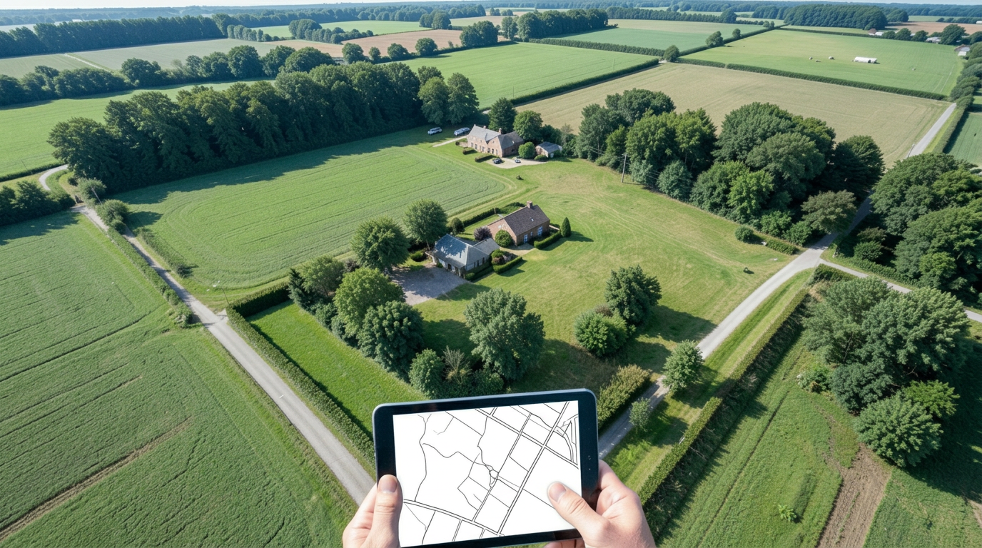
Getting a satellite view of your property
How do I get a satellite view of my property?
Enter the address, paste a Google Maps link or type the coordinates, then define the property boundary by picking the official parcel, uploading a boundary file (KML, KMZ, GeoJSON or shapefile) or drawing it on the map. Earth-Audit then pulls every usable satellite scene over that boundary from the public Landsat and Sentinel-2 archives and shows the current view alongside the historical ones. Nothing outside the boundary is measured.
Can I see satellite images of my house?
You can see the roof and the footprint, not the detail. Sentinel-2 pixels are 10 m across, so a house occupies a handful of pixels. Landsat pixels are 30 m, roughly 0.09 hectares each, so a house is smaller than one pixel. In the United States, USDA NAIP aerial imagery is sub-metre and shows individual structures, but it is flown on a one-to-three-year cycle and covers the USA only.
How far back can I see my land?
To 1984 in most of the world, using the Landsat 5, 7, 8 and 9 archives at 30 m. From 2015 onwards Sentinel-2 adds 10 m detail and a scene roughly every five days. Where no cloud-free scene exists for a year, that year is reported as a gap — it is never interpolated or filled with a guess.
Is the imagery live?
No. No civilian satellite service is live. Sentinel-2 revisits the same spot every five days and the scene becomes usable a few hours to a couple of days after acquisition, and only when clouds are not in the way. Expect days, not minutes.
Why is my image blurry or out of date on other free tools?
Free map viewers show a stitched mosaic assembled from scenes captured at different times, sometimes years apart, and they do not tell you the capture date. Earth-Audit works from dated scenes, so every figure you see is tied to a sensor and an acquisition date.
What Earth-Audit measures
What is NDVI and what do the values mean?
NDVI, the normalised difference vegetation index, compares near-infrared and red light reflected by the surface. Values run from -1 to 1. Water and shadow sit below 0, bare soil, rock and asphalt sit around 0.05 to 0.2, grass and crops around 0.3 to 0.6, and dense healthy forest above 0.7. A value of 0.18 over what is described as a farm usually means the area being measured is not vegetation at all.
How is vegetation loss calculated in hectares?
A baseline window and a current window are compared pixel by pixel inside your boundary. Each pixel is classified as stable, loss, severe loss or regrowth, and the classes are summed by pixel area. The result is reported in hectares as well as percentages, so it can be checked against the total area of the plot.
Does the analysis cover only my land?
Yes, once the boundary is defined. That is the point of the boundary step: a radius or a bounding box around a point would measure the neighbourhood. A defined parcel of 1.14 hectares is analysed as 1.14 hectares.
What else is reported besides vegetation?
Fire detections from NASA FIRMS, forest disturbance from the JRC Tropical Moist Forest dataset where the plot falls inside the tropical moist belt, temperature and precipitation anomalies from Open-Meteo and ERA5, soil properties from ISRIC SoilGrids, nearby species records from GBIF, landscape features from OpenStreetMap, and any overlap with protected areas from the World Database on Protected Areas.
What will Earth-Audit never show me?
Anything a source does not cover. If a dataset has no data for your location, the field reads not available. No value is estimated, smoothed or invented to fill a gap, and simulated content is labelled as simulated.
Property boundaries and area of interest
How do I define my property boundary?
Three ways, in the order most professionals use them. Click the official parcel where a cadastral layer is available, upload the perimeter file you already have (KML, KMZ, GeoJSON or a zipped shapefile), or draw the outline on the map. The map shows the outline and the total hectares before you save.
Can I monitor several plots?
Yes. Each plot is added as its own property with its own boundary, history and report.
Can I change a boundary after saving it?
Yes. Editing the boundary re-runs the analysis against the new outline, and the property header states the measured area and where the boundary came from.
I already have a parcel map or a land registry plan. What does Earth-Audit add?
A parcel map, a cadastral layer or an official registry plan tells you where the property ends. It does not tell you what happened inside it. Earth-Audit takes that outline — you can upload the same file — and reads every usable satellite scene over it back to 1984, measures vegetation change pixel by pixel in hectares, and puts dates and sources on each figure. The outline is the starting point, not the answer.
Is the boundary a legal document?
No. It defines the pixels we measure. It is not a survey, a title, a registration or a legal opinion, and Earth-Audit never presents it as one.
Reports and verification
What is in the PDF report?
The current report is 16 pages. It includes the evidence verdict and its confidence limits, dated satellite comparisons, pixel-classified change, NDVI trajectory, thermal-detection context, climate and protected-area context, property identity, consulted sources, and the SHA-256 fingerprint of the file.
How can a third party verify a report I send them?
Every report is hashed with SHA-256 and the hash is published. Anyone can open the verification page, paste the hash or upload the file, and confirm it is byte-for-byte the file Earth-Audit produced. No account is needed to verify.
Can I use a report as legal evidence?
It is documentary evidence of what public satellite archives recorded, with traceable sources and a verifiable fingerprint. It is not a legal opinion, a title conclusion or a compliance certificate, and whether a court or authority accepts it is their decision, not ours.
Pricing, trial and account
How much does Earth-Audit cost?
US$29 per month, with a 30-day free trial. A card is required upfront and checkout is handled by Stripe. You can cancel during the trial and nothing is charged.
Is there a free version?
No. There is a 30-day free trial of the full product, and public report verification is open to anyone without an account.
How do I cancel?
From the billing page in your account, which opens the Stripe customer portal. Cancellation takes effect at the end of the paid period.
Who operates Earth-Audit?
54Grid Limited, registered in the United Kingdom, at 71-75 Shelton Street, Covent Garden, WC2H 9JQ, London. Write to info@earth-audit.com.
Limits and accuracy
What are the real limits of satellite monitoring?
Optical sensors cannot see through cloud, so persistently cloudy regions have sparser coverage. Changes smaller than one pixel are not detectable. NDVI drops in drought and in the dry season even when nothing was cleared, which is why comparable windows are used and why local knowledge still matters. Tropical forest disturbance data does not exist outside the tropical moist belt.
Does Earth-Audit replace a land survey?
No. A licensed surveyor establishes legal boundaries on the ground. Satellite monitoring tells you what changed on the surface, when, and by how many hectares. They answer different questions and work well together.
Does it send me alerts when something changes?
Not today. Monitoring runs when you open the property and request an analysis. Email alerts and automatic monthly reports are not part of the current product, and we do not advertise them as if they were.
Which countries are covered?
Landsat, Sentinel-2, FIRMS, Open-Meteo, SoilGrids, GBIF and OpenStreetMap are global. NAIP aerial imagery is USA only. JRC tropical forest disturbance is limited to the tropical moist forest belt. Official parcel layers depend on the country; where none exists, use a boundary file or draw the outline.