Property evidence from public satellite archives
See what changed on your property.
Turn decades of satellite imagery into a clear property record: what changed, where it changed and which source observed it.
US$29/month
Full access for 30 days · card required
Cancel any time before the first charge on day 31 and pay nothing.
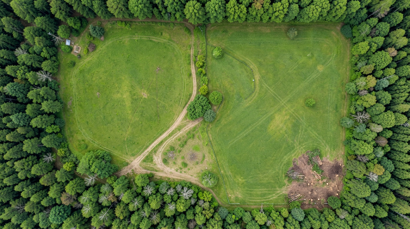
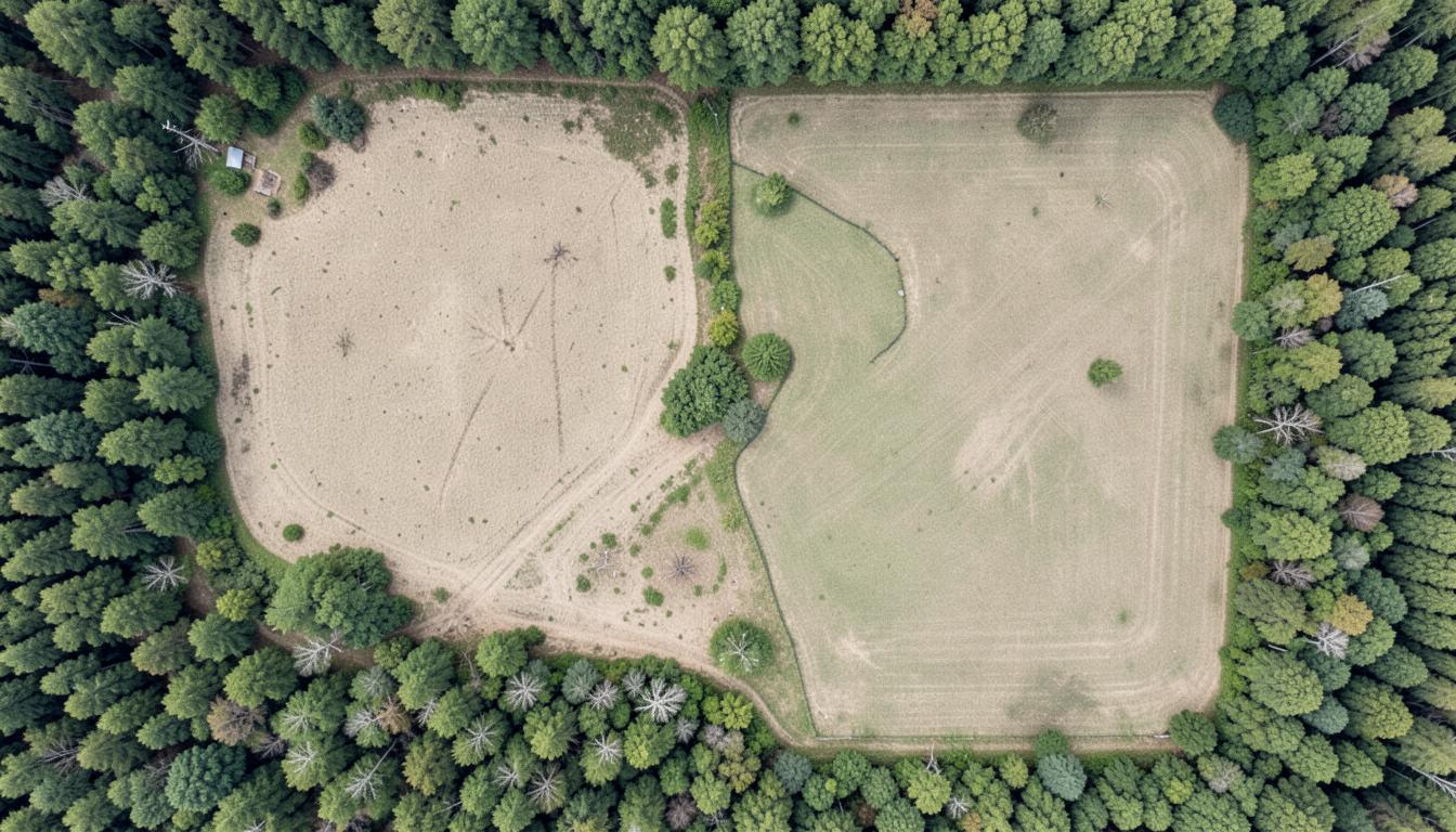
Boundary
User defined
Resolution
Source stated
Integrity
Verifiable
Illustrative comparison · actual monitoring uses dated public satellite scenes
Vegetation
NDVI trajectory
Measured pixel by pixel
History
30+ years
Landsat and Sentinel-2
Risk context
Fire & forest loss
Where sources provide coverage
Evidence
SHA-256
Publicly verifiable reports
Real official imagery
Explore public monitoring demonstrations.
Open five landmark examples to compare dated aerial imagery, inspect source resolution and review the environmental signals available for each area.
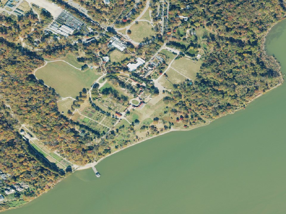
Public demonstration · United States
Mount Vernon
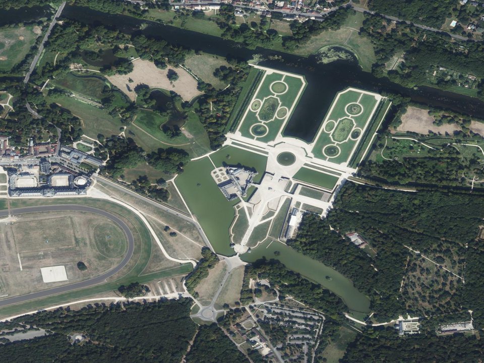
Public demonstration · France
Château de Chantilly
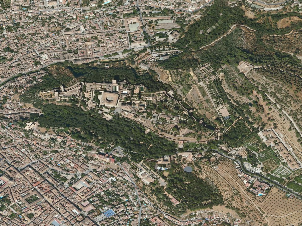
Public demonstration · Spain
Alhambra
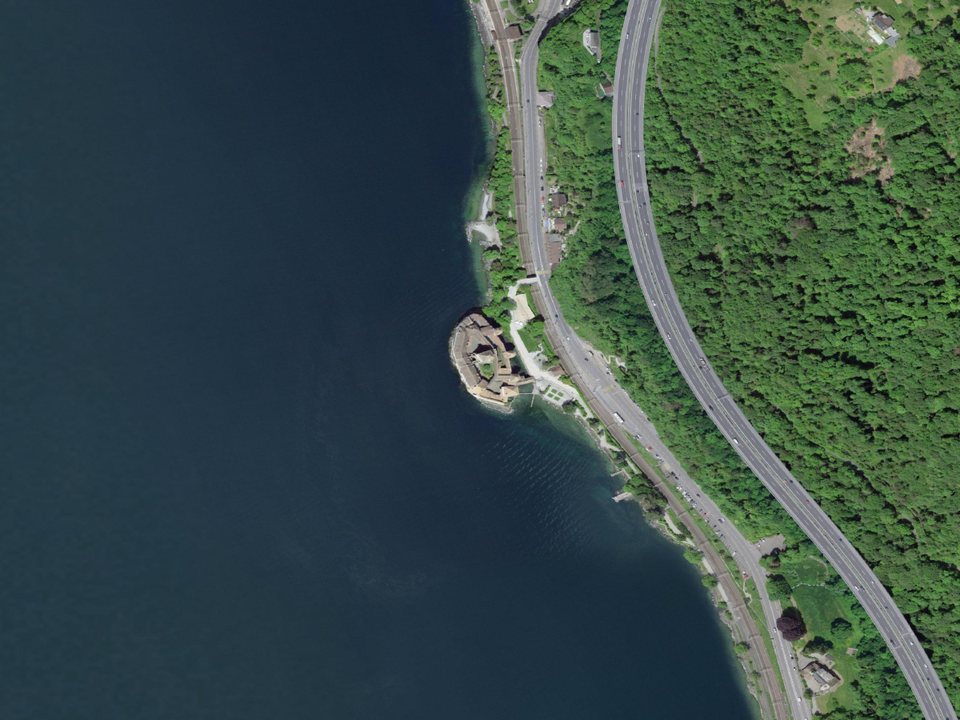
Public demonstration · Switzerland
Château de Chillon
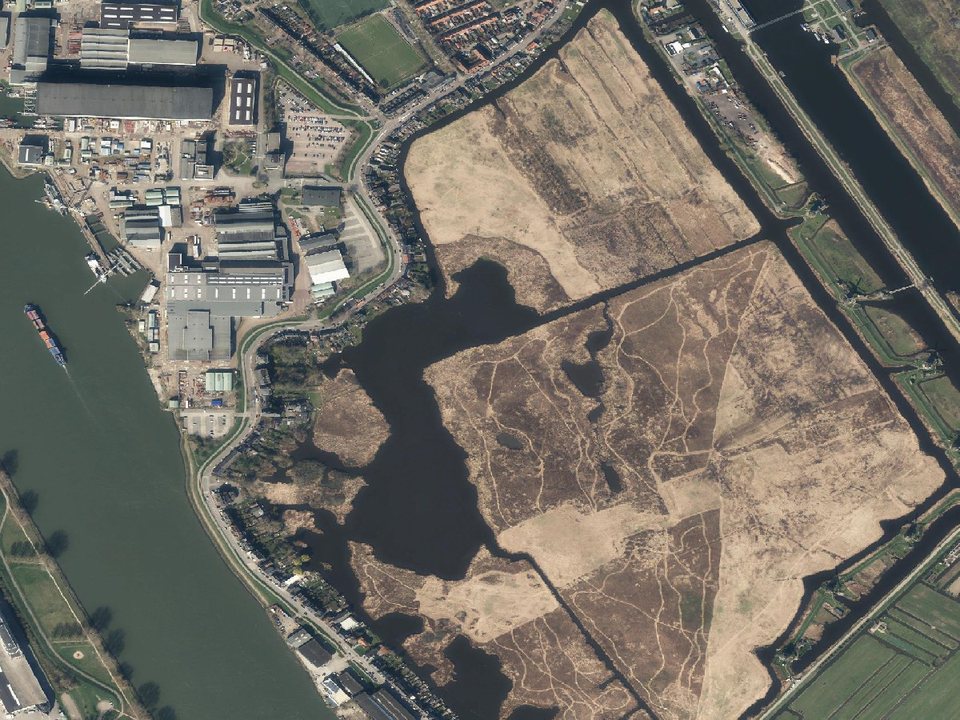
Public demonstration · Netherlands
Kinderdijk
Independent demonstrations using open official imagery. These locations are not presented as Earth-Audit customers; monitored areas are approximate, not legal property boundaries.
From location to evidence
The property boundary comes first.
Earth-Audit analyses only the land you define—not an arbitrary neighbourhood-sized square around a pin.
A parcel map or a registry plan shows where the property ends. Bring that outline here and see what happened inside it since 1984.
See how measurements work- 01
Choose the property
Search an address, paste a Google Maps link or enter coordinates.
- 02
Define its real boundary
Upload a boundary file, draw the polygon or select a radius when no parcel file exists.
- 03
Read the change history
Review imagery, vegetation trajectory and pixel-level change inside that boundary only.
- 04
Keep the evidence
Use dated sources and a verifiable fingerprint when you need to share the record.
A complete property record
One record. Every relevant signal.
Compare dated imagery, vegetation trends and risk context without piecing together separate tools or screenshots.
10 m
Sentinel-2 pixel scale
NDVI
Vegetation trajectory
1984+
Landsat archive
Your AOI
Only your defined boundary
Built around the asset
For anyone responsible for land.
- Landowners and farm managers
- Property buyers and investors
- Construction and development teams
- Forestry and restoration managers
- Companies overseeing land portfolios
No invented certainty.
If a source has no coverage for your property, Earth-Audit says not available. Every available figure names its source, date and resolution. Evidence is not a legal opinion.
Read the methodologyOne plan · full property record
Review your first property risk-free.
30 days free, then US$29/month. Cancel before the first charge on day 31 and pay nothing.
Start your 30-day trial